Home
Home Car Crash Investigation
 Accident Scene Inspection
 About CIS
 Contact CIS
Forensic mapping
Accident analysis techniques and tools

Sokkia Total Station used in motor vehicle crash reconstruction
Through the use of a total station (pictured right) CIS can provide a high quality representation of the geometry
of the roadway.
This includes a cross section to illustrate the grade of the roadway which assists in answering questions like ‘could
the driver have seen the pedestrian’.
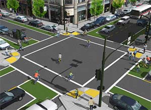
By incorporating scene mapping and vehicle mapping - a comprehensive forensic map can be generated in either 2 or 3 dimensions
to give a client or courtroom a quick and clear appreciation of all of the physical factors of a vehicle collision.
Crash investigation software

CIS uses 3D modeling software to enhance the analysis of the accident investigation accident scene.
A total station records the accident scene data using established surveying techniques to map the geometry of the road as well as the accident locations and vehicles.
The IMS 360 software is then used with the total station data to ensure an accurate two dimensional forensic map to further the analysis by providing cross sections and line of sight vectors.
ARAS 360 Advanced 3D Computer Diagramming is software that produces 3D
images and animations to enhance the analysis by providing a professional and clear representation of the conclusions of the crash investigation analysis.
The ARAS software can utilise either the total station or IMS 360 data or both to build it's graphics and animations.
To enquire please contact CIS on 0405 149 064
or email
.